By Lucas Guaraldo*
Because they are not suitable for mechanized agriculture, the Cerrado’s stony soils are proportionally better preserved than the deep soils, which have few rocks in their surface layers, according to a survey by IPAM (Amazon Environmental Research Institute) for National Soil Conservation Day, celebrated today (15). In 2024, 89% of the Cerrado’s rocky soil was covered by native vegetation, while deep soils had half of their entire area deforested.
Around 4% of the Cerrado’s surface is made up of stony soils, in which up to 90% of the volume, in the first 100 centimeters, is made up of rocky fragments. Due to their characteristics, these soils impose restrictions on the use of agricultural machinery, hindering agricultural expansion, which generally occupies deeper soils, i.e. those without stoniness in the first few centimeters Currently, 99% of all agricultural activities in the Cerrado are located in areas with deep soils.
Since 1985, farming on deep soils has grown from 53 million hectares to 93 million hectares, an increase of 75% in its total area. In the same period, the area of stony soils expanded by 310,000 hectares, or 68%. This means that for every 1 hectare of native vegetation converted into stony soils, 128 hectares were deforested in areas with deep soils. In private areas with land registry, over the last 40 years, the loss of native vegetation in deep soils was 52%, while in shallow soils the loss was 22%.
“This pattern helps us understand the logic of land occupation. Soils with a greater presence of rock, especially those with rocky outcrops close to the surface, end up being less used by intensive farming, mainly due to operational limitations. As a result, these areas often remain covered by native vegetation or are set aside as legal reserves and permanent preservation areas. However, this conservation occurs to a large extent not because of ecological planning, but because these areas represent a natural physical restriction to agricultural use,” explains Bárbara Costa, the IPAM research analyst responsible for the survey.
Soil and water
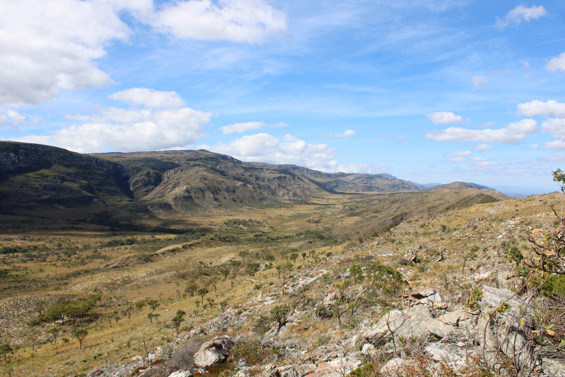
Stoniness also directly influences the dynamics of water in the soil and, consequently, the functioning of ecosystems. The source of 8 of Brazil’s 12 main river basins, the Cerrado is fundamental to the country’s water supply. In rockier soils, the amount of material available to store water is reduced. As a result, infiltration at depth tends to be limited and part of the water runs off the surface or moves only in shallower layers. This behavior favors the formation of specific environments, such as rupestrian fields and other formations adapted to drier soils.
“From an ecological point of view, these soils are associated with specialized plant communities, such as the Rupestrian Formations in the Cerrado, with species adapted to more restrictive water and nutrient conditions. The water dynamics are different precisely because there is less soil volume for water retention and percolation. However, these are regions with high diversity and endemism,” says Costa.
Deeper soils, on the other hand, with fewer rocky fragments, allow for greater water infiltration and storage. This favors the recharging of aquifers and the maintenance of springs and watercourses. On the other hand, this same characteristic makes them more susceptible to leaching, a process in which water carries nutrients to deeper layers, and to contamination by agricultural inputs.
“In contrast, deeper and less stony soils play an important role in recharging aquifers and feeding the water table, contributing to the maintenance of rivers and streams. Because they are more permeable, they can facilitate both the loss of nutrients and the transportation of contaminants to the water table,” adds the analyst.
Mapping Brazilian soil
Brazilian soil conservation is also impacted by the lack of information and detailed mapping of the soil and its physical characteristics. According to Embrapa (Brazilian Agricultural Research Corporation), most of the current mapping is done on large scales, which makes it difficult to identify the detailed characteristics of municipalities or small areas with different soils. Despite some state initiatives, says Flávio Adriano, a researcher at Embrapa Solos, efforts to map Brazilian soil at levels similar to those seen in countries like the United States and Canada are hampered by a lack of budget and political will.
“Brazil still doesn’t have detailed soil mapping on an adequate scale. Much of the information available is very general, which makes it difficult to plan land use. Without a good understanding of the soil, it becomes more difficult to make efficient decisions in agriculture, environmental conservation and natural resource management. In addition, there are limitations in terms of investment, infrastructure and the training of specialists, which makes progress slower than it needs to be,” says the researcher.
In this sense, initiatives such as the MapBiomas Network, of which IPAM is a member, seek to reduce this gap by integrating remote sensing data, relief and land use history with modeling and artificial intelligence techniques. In addition to maps identifying the volume of soil stoniness, MapBiomas Soil Collection 3 also provides free 30-meter resolution maps for the whole of Brazil, information on organic carbon in the first 30 centimeters of the soil between 1985 and 2024, as well as static maps of the content of sand, silt – particles smaller than fine sand and larger than clay – and clay in layers of up to 100 centimeters.
“It’s a process based on modeling, which integrates different types of data, such as satellite images, relief and land use history. Based on this information, estimates are made about soil characteristics in areas where there are no direct field measurements, expanding the capacity for large-scale analysis. This set of information reinforces the importance of incorporating soil more centrally into territorial planning and conservation strategies, considering not only its productive aptitude, but also its ecological functions and its contribution to the sustainability of ecosystems,” explains Bárbara.
* IPAM journalist, lucas.itaborahy@ipam.org.br
**Cover photo: Vitor Araujo Silva