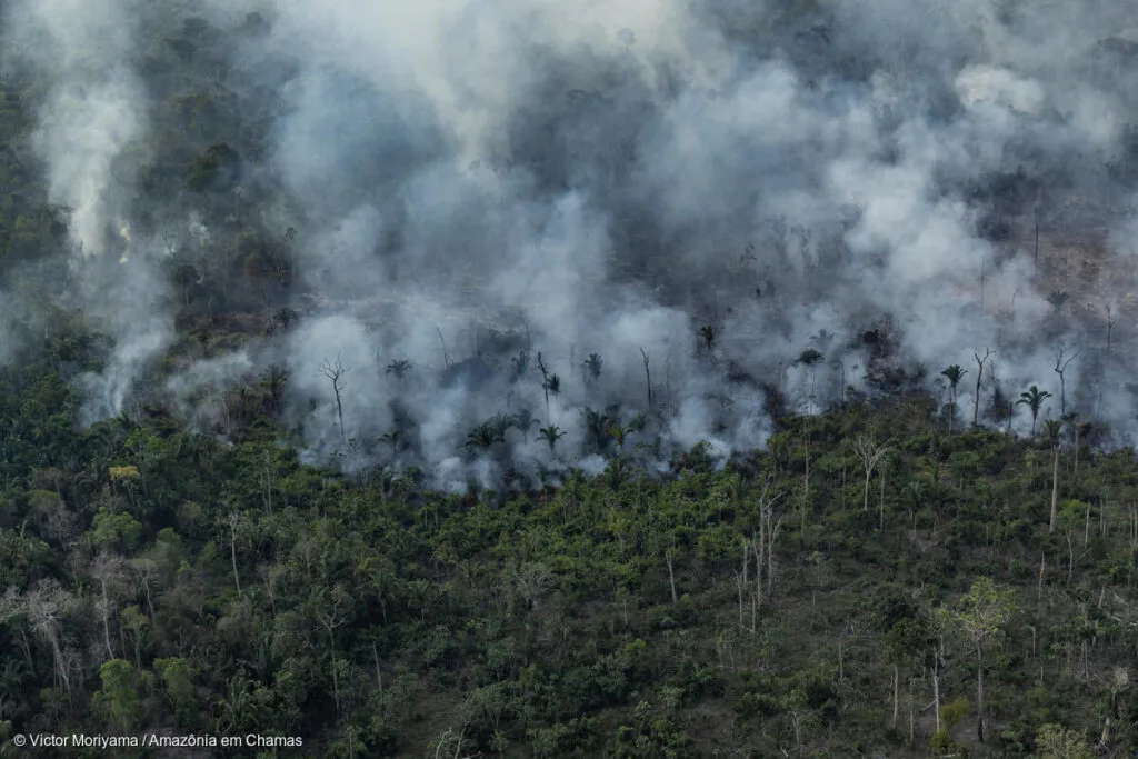
Amazonia on Fire: air quality in 2024 and 2025
Filipe V. de Arruda, Ane A. C. Alencar, Newton C. Monteiro, Vera L. S. Arruda, Ana Carolina M. Pessoa, João P. F. M. Ribeiro, Marcia Macedo, Luiz Felipe M. Martenexen, Renata da Costa, Antônio Willian F. de Melo, Ray P. Alves, Wallace V. Silva, Vanessa S. Ribeiro...
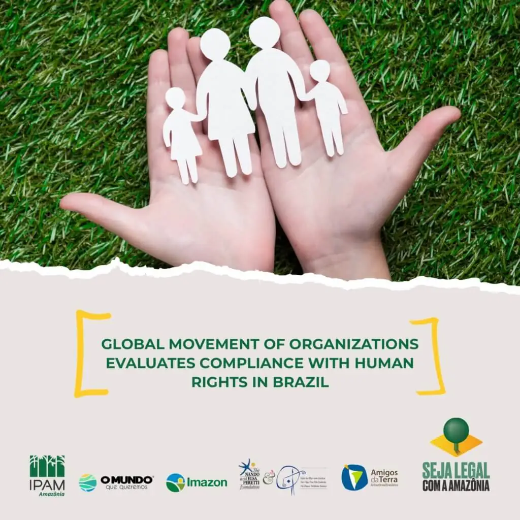
Joint submission for the fourth monitoring cycle of Brazil in the Universal Periodic Review of the United Nations Human Rights Council
Brazilian organizations submitted the present document to the United Nations, which they describe the current scenario of compliance with human rights in Brazil. The Amazon Environmental Research Institute (IPAM, anacronym in Portuguese), the Instituto do Homem e...
Financial Statements – 2020
2020 financial statements and independent auditors' report.
Financial statements – 2020
2020 financial statements and independent auditors' report.
IPAM's Activities Report 2019 2020
The Instituto de Pesquisa Ambiental da Amazônia (IPAM) [Amazon Environmental Research Institute], born in Belém, Pará, is a scientific, non-governmental, non-partisan and non-profit organization. Since 1995, its mission has been to promote science, education, and...
IPAM’s Activities Report 2019 2020
The Instituto de Pesquisa Ambiental da Amazônia (IPAM) [Amazon Environmental Research Institute], born in Belém, Pará, is a scientific, non-governmental, non-partisan and non-profit organization. Since 1995, its mission has been to promote science, education, and...
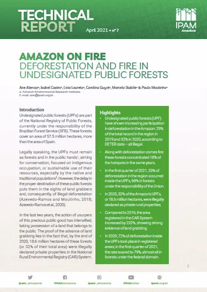
Amazon on Fire 7: deforestation and fire in undesignated public forests
Undesignated public forests in the Amazon must remain as forests and in the public hands, aiming for conservation, focused on indigenous occupation, or sustainable use of their resources, especially by the native and traditional populations. However, the delay in...